Time: March 1st, 14:25 EST Hanover, New Hampshire
Content: A widespread severe thunderstorm outbreaks seems likely later this evening and especially tomorrow evening and low-level moisture and high lapse rates encroach on the deep south. The SPC currently has a moderate risk issued for the 2nd day convective outlook for the ArkLaTex region.
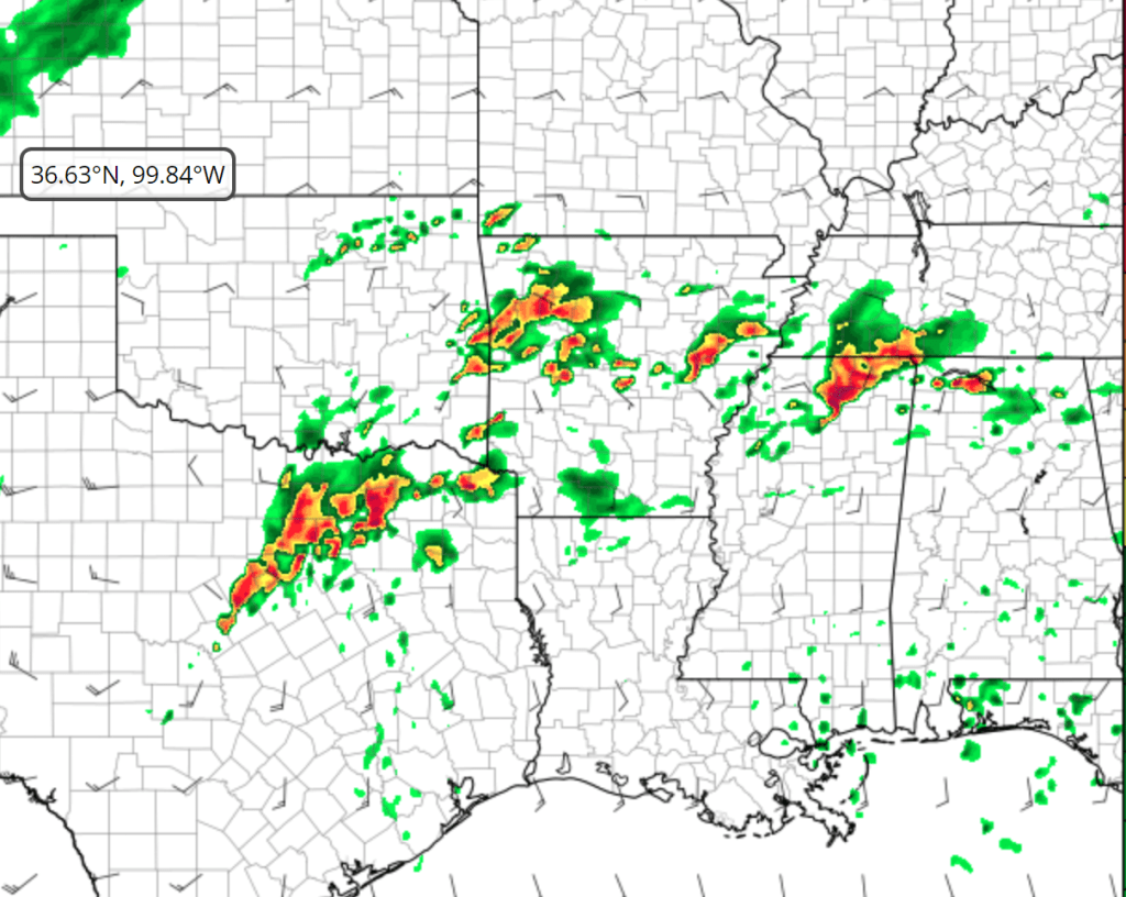
Here’s the convective outlook for later this evening on March 1st:

For March 2nd, the SPC has issued a moderate (4/5) risk for severe thunderstorms with all hazards possible. A few cells initially pop up in central/southern Arkansas, and then a blast of storms out of SE OK and NE Texas takes over and brings the bulk of the severe weather. More messy rainstorms further toward the MO / AR line, but the parameters seem to be in place for a notable event. We’ll examine more in detail as we get closer to the event.

Here’s the high res forecast for 3:00PM EST on March 2nd. CAPE values 1500-2000 in the ArkLaTex region and moderate sheer.